River Thames, Central London
07/11/15
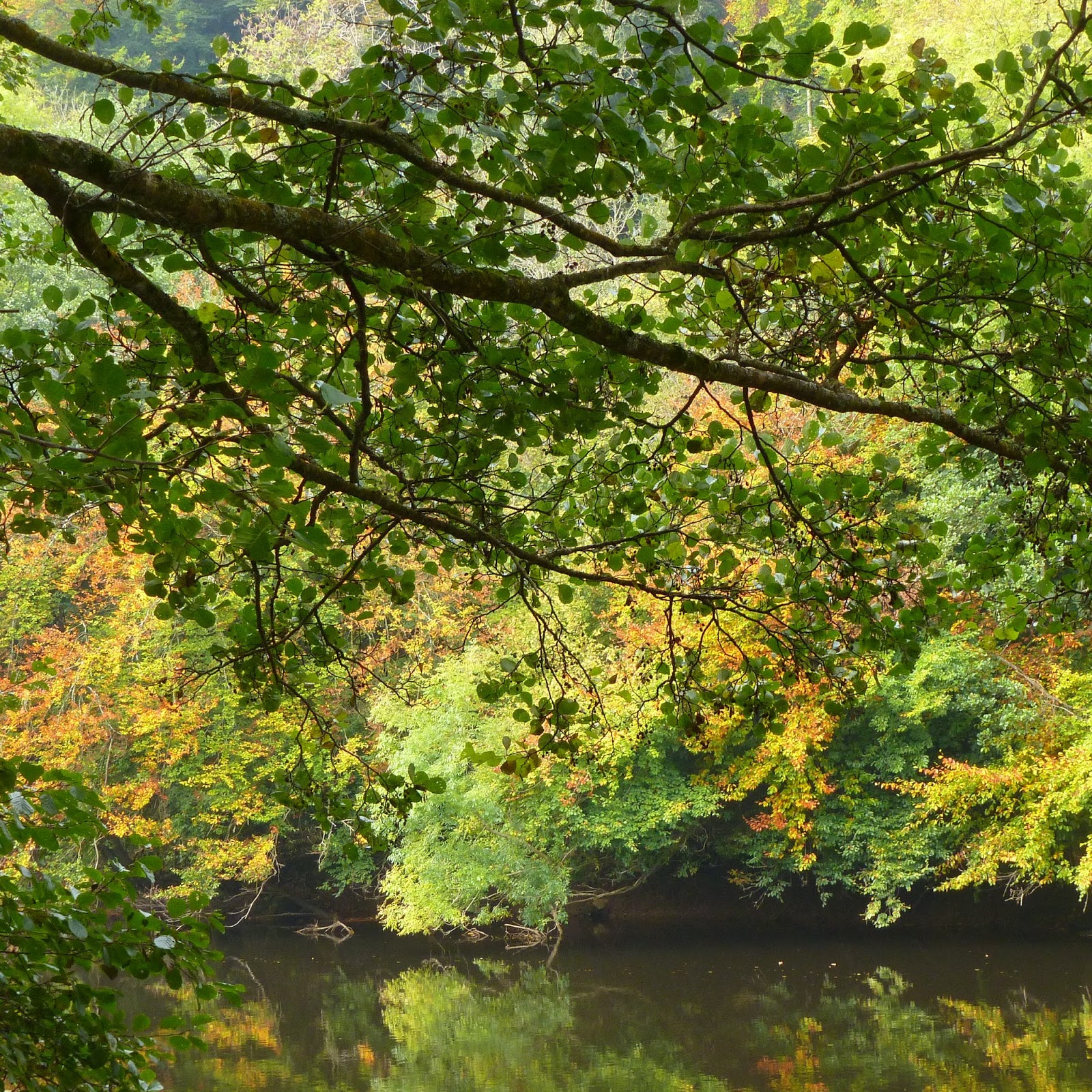
 |
| My sketch on the South Bank last March |
The weather forecast had been revised for the better
since Friday, the rain in the morning / Friday night clearing by early
afternoon. Still uncannily mild 17-18oC in London. A fast ebbing tide beneath Hungerford Bridge as I sat eating
my sandwiches, pleasantly surprised to do so in the dry, and minus the chilly
Thames wind I’d usually expect at this time of year. The Thames vibe improved
as the afternoon went on.
Thames vibe improved with weather. Unlike in the
summer, now the huge tourist groups have gone, pleasantly busy instead of
oppressive along the South Bank between Hungerford Bridge and Bankside.
Children in wellies splashing in puddles. I dread to think what will happen
when they start on the Garden Bridge, early next year, carrying on regardless. A piece in the Guardian about the silly,
Orwellian restrictions, thirty of them (6th November online).
http://www.theguardian.com/uk-news/2015/nov/06/garden-bridge-mobile-phone-signals-tracking-london
I haven't seen anyone flying kites from
Thames bridges, but essentially, Big Biz will be watching you to make sure your face fits. Subsequently article about the high cost of it too:
http://www.theguardian.com/uk-news/2015/nov/14/work-on-london-garden-bridge-to-begin-despite-30m-shortfall-private-money
More than anything else, it's the disruption during the construction along what's already
probably the busiest stretch of river in England I dread. The noise, cramming,
restricted access, generally very oppressive. What effect will this have on the vibrant South Bank - National Theatre, Royal Festival Hall, bars, eateries etc while it's all going on? As the tide ebbed and people began wandering along the
shore, I wondered if I ought to get down there again while I still could.
Just as we left Bankside, around 3pm, the sky began
clearing. The sun broke through. The colours came out along the Thames. Tide
now well out, people wandering along the Thames shore, two brass band quartets
playing on the more sandy bits beneath the South Bank. November, but al fresco lattes outside
the Royal Festival Hall, with low sun on the South Bank architecture.
Interesting ITV programme
about canal trip in SE England, broadcast circa 1st November
Missed when broadcast, but picked up and recorded by my mother. A journey - as much as possible inland in a 60ft narrowboat - from London to the English Channel via the Thames, Wey Navigation, restored / navigable
stretches of the Wey and Arun canal and the lower Arun to Littlehampton. As
well as visiting places I know well, it came across as a heart warming tale of
two older people enjoying life while they still could, in a boat. Timothy West is an experienced canal hand, in his
early 80s. Prunella Scales is now 83 and I understand she has dementia but for much of the way
she was pretty lucid and agile physically for her age. Scenery wise,
there was more in Surrey / along the Wey than West Sussex. They passed through many long loved places I know, particularly along the Wey. They joined the Wey and Arun canal just south Guildford, near
Shalford. Timothy at the tiller, both negotiating the
locks. The Wey and Arun Canal is still very patchy, though improved since the
1980s. It’s in water and navigable to narrowboats just south of Shalford, and a
short stretch at Loxwood which we visited in 2003. The Wey & Arun Canal
Trust are now trying to restore a section a bit further south. A visit to the Yvonne Arnaud Theatre on the Wey at Guildford, a detour from the water to Abinger Hammer, visiting the house where Prunella
Scales was born. There was nothing of the Arun above Arundel, so not clear how
they got from Loxwood to Arundel. Because of the strong tidal currents, they
did the last stretch in a passenger motorboat with a regular skipper. I recognised the boat
as the one which does public trips from Arundel quay, just downstream of the
bridge in the summer.
Costing The
Earth BBC Radio 4 podcasts - November 2015
50 years of
coastal change - http://www.bbc.co.uk/programmes/b06j1xzd
Featured John Whittow who, aided by geography undergrads invariably
trudging through mud / getting soaked, mapped the UK coastline for the National
Trust in the mid-1960s. Amid the post-war building boom, worries about the coast becoming
urbanised through industrial and property development, including , caravan parks. The issue of caravan parks - views vs more affordable holidays controversial, but particularly along prominent, picturesque stretches of SW England, they could perhaps do more to blend them in, paint them green maybe?
They quoted GM Trevelyan, 1930s historian, on open
spaces including the coastline: “ultimate injury” through development. “Happiness and the soul’s
health is at stake. Without natural beauty people will perish in the spiritual
sense. True for all time, developers please take note for the benefit of everyone as far as possible.
River Quality - focus on River Itchen near Alresford
http://www.bbc.co.uk/programmes/b06mfs7m
This pretty much confirmed what last year's report
from the World Wildlife Fund (WWF) on chalk streams said about the Itchen and
chalk streams more generally.
The Environment Agency's claims that river quality (in England and Wales, for Scotland it's SEPA) is now the best it
has been for the past twenty years seems to be at odds with the experiences of local river-goers, such as the Salmon & Trout UK along the Itchen near Alresford. Chalk streams throughout southern England have suffered diminishing flows during the past 60 years or so through water abstraction (certainly the Kennet and Salisbury Avon). Some encouraging news from Southern Water about what they have been engineering/ been planning to do around Soton / the lower Itchen to reduce the amount of water taken out of the Itchen and make present levels of abstraction as efficient as possible. They now have plans for a pipeline to divert water from the Test to the Itchen. Southern Water say they would only use it during “droughts as bad as 1976”. There have been at least two other major, prolonged droughts impacting on chalk streams since then (late 1980s- early 1990s), 2011 – early 2012. It also assumes that in such situations the Test would have water to spare, too.
The main emphasis of this programme was on pollution. The situation along the Itchen sounds worse than I'd expect for a prized chalk stream and a protected site. The WWF report says much the same.
During the past 20-30 years, there have been great strides in tackling the big pollution culprits: industrial pollution and
large discharges of raw, untreated sewage. In northern England river water quality has improved dramatically since the 1980s. Most notably the Aire, the Mersey and the Tyne which used to be some of Britain's dirtiest rivers. The
River Tyne is now said to be the best salmon river in England. The problems now are the cumulative effect of smaller
scale sources: particularly of nitrate (N) and phosphate (P) pollution from
agricultural run-off, use of fertilisers
and smaller scale but significant discharges of inadequately treated
sewage, eg from septic tanks. These nutrients promote the growth of algae, especially when
the double whammy of abstraction and drought has diminished the flow. This
blocks out much of the light, meaning aquatic plants such as the water
crowsfoot which should be abundant in chalk streams like the Itchen, die. The
decomposing bacteria then starve the water of oxygen, so nothing can thrive,
fish stocks included. They also say silt run-off into the Itchen and its
tributaries such as the Alre at Alresford after heavy rain can prevent salmon
from spawning.
Salmon & Trout UK said the diversity of plant life in the Itchen had diminished - describing it as more or less a lifeless
desert. Though the water still looked clear, it was still more turbid than it
should be (due to suspended silt / sediment) and pretty much devoid of plant
life. Fish stocks have been declining, too. There should be water crowsfoot –
the vivid green weed seen waving gently with the current in healthy chalk
streams. Used to see plenty of it all around the Winchester area. They didn’t
mention this, but now the dominant plant life in chalk streams and clear
running waters seems to be the species with the long, straight spindly weeds. I
don’t know the name of that, but there was lots of it in the Stour around
Canterbury when I was there last year, and also in the Lavant when that’s
running. Both are classed by the WWF as chalk streams, as well as the classic
ones such as the Test and Itchen. At Canterbury, I overheard a boat tour
commentary saying that kind of weed is down to fertiliser use and impedes
navigation. It’s a pain to weed out.
 |
| The Great Stour, Canterbury, August 2014 |
Research on the Thames at Wallingford by CEH
indicates that, though phosphate levels in the Thames and its tributaries has
declined by 90% during the past 20 years, algal growth is still rife. I can
vouch for that from what I’ve seen along the north branch of the Wey. That is
classed as a chalkstream as well, but I’ve never thought it has looked healthy
or attractive through Farnham. The only time I’d say not is when the river is
running fairly high (as in spring 2008 and last February). Then, it’s
invariably turbid because of the increased suspended sediment in the faster
current. CEH’s findings suggest that to make a real difference, phosphate
levels would have to be reduced further to a third of their present level.
Planting more trees along riverbanks to create dappled light rather than the
strong relentless sunhine algae like would help, too. It would also give shade
to sun sensitive river ramblers.
In 2000, as part of the EU Water Framework
Directive, there was a target to improve water quality so that all Britain’s
rivers could be classified as Good. Recall the ratings are Very Good, Good,
Fair, Poor, Bad. I don’t know the quantitative criteria which decides these but
they include nitrate and phosphate levels, biological oxygen demand and
presumably biodiversity of aquatic flora and fauna. The target date was this
year and we’ve missed them by miles. In England, just 17% of rivers are now
classed as Good, 43% in Wales, 50% in Scotland. The government will soon
publish new “River Basin Management Plans”, intended to improve thins.
What isn't helping is the Environment Agency's diminishing, strained resources. All things outdoor and environmental have taken a particularly big hit during government spending reviews during the 2010s. This means they unable to do as
much as they’d need or like when it comes to monitoring and things which might improve
water quality, such as working with farmers and landowners to reduce / better
manage agricultural run off and improve sewage treatment.
World Wildlife Fund – State of Britain’s Chalk
Streams report, published November 2014
http://www.wwf.org.uk/about_wwf/press_centre/?unewsid=7378
This from John Vidal in The Guardian, 2011
http://www.theguardian.com/environment/blog/2011/aug/30/rivers-spin-environment-agency
Even if EA funding was to improve, the combo of
population growth and climate change would put extra pressure on rivers through
increase demand for water and greater likelihood of drought. Already we seem to be seeing binary / either full-on-full- off rainfall patterns increasingly regularly.
The Scouring of the River
Lavant

22nd
November – on our way up to the Trundle, South Downs near Chichester, on Sunday
morning, we saw that, not only was the stream still dry, but it also now more
closely resembled a flood relief channel or reservoir outlet than a rural
downland chalk stream. Last week (18th November), I’d seen people
working here, including a guy in orange hi-vis standing in the streambed. I
could tell from the far side of the village green, then it was still dry. They
had a digger, though I thought it was all heavy duty gardening, clearing leaves
and cutting back trees, rather the stream itself. Through East Lavant, the
channel and banks are now completely scoured of anything natural, beyond autumn
leaves which have fallen during the past few days.
As
noted previously, this is a winterbourne. The water table in the chalk is
obviously too low for it to run at the moment. Given what I’ve said elsewhere
about autumnal drought, I’m not surprised if recharge is a bit late last year.
Hopefully rain during November help.
Recent
features in The Guardian etc on Rivers / Water / Weather – UK
Why are river names so repetitive?
http://www.theguardian.com/lifeandstyle/2015/jul/22/why-river-names-repetitive-avon-don-derwent
Grim Long Read about drought and other pressures on
Britain’s rivers, focusing on the Sussex Ouse
http://www.theguardian.com/environment/2015/oct/08/are-we-killing-our-rivers
WWF claim UK government failing to protect rivers
from farm pollution
http://www.theguardian.com/environment/2015/aug/27/government-accused-of-failing-to-protect-waterways-from-farm-pollution
Britain 'must abandon Churchillian rhetoric' in face
of rising seas
http://gu.com/p/4e59v?CMP=Share_AndroidApp_Drive
River Wey, Woodbridge Meadow Guildford

Revisited 20th November, en route to the Farnham area. Woodbridge Meadow is to the north of the town centre and Dapdune Wharf. In recent years, the area has seen a makeover by local tree sculptors. Now a giant buried in the grass, two feet and a hand sticking in the air. Nearer the road, a nose and lips. A couple of troll-like face carvings in growing trees. Recently, too, the adding of a flinty structure with seating and wooden seed sculptures. These are some of my photos.


 |
| Figures sillouetted in shadows under railway bridge |